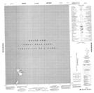
Maps showing Keith Arm, Mackenzie, Northwest Territories
Keith Arm is a Bay located in Mackenzie, Northwest Territories and has an elevation of 155 meters.
- Latitude: 65° 20' 1'' North (decimal: 65.3334960)
- Longitude: 122° 15' 6'' West (decimal: -122.2517071)
- Topography Feature Category: Bay
- Geographical Feature: Arm
- Canadian Province/Territory: Northwest Territories
- Elevation: 155 meters
- Location: Mackenzie
- Atlas of Canada Locator Map: Keith Arm
- GPS Coordinate Locator Map: Keith Arm Lat/Long
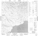
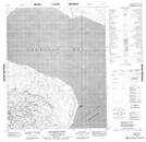
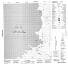
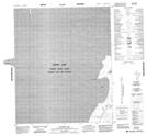
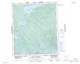
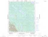
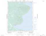
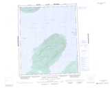
Keith Arm NTS Map Sheets
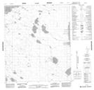
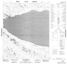
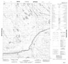
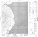
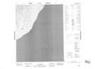
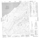
096A13 No Title Topographic Map at 1:50,000 scale
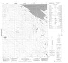
096B16 Mosquito Berry Hill Topographic Map at 1:50,000 scale
096G01 Manitou Island Topographic Map at 1:50,000 scale
096G02 No Title Topographic Map at 1:50,000 scale
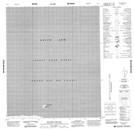
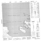
096G03 Fort Franklin Topographic Map at 1:50,000 scale
096G04 No Title Topographic Map at 1:50,000 scale
096G07 Fox Point Topographic Map at 1:50,000 scale
096G09 No Title Topographic Map at 1:50,000 scale
096G10 Salatreil River Topographic Map at 1:50,000 scale
096G16 Kokeragi Point Topographic Map at 1:50,000 scale
096H04 Cloud Bay Topographic Map at 1:50,000 scale
096H05 Jupiter Bay Topographic Map at 1:50,000 scale
096H06 No Title Topographic Map at 1:50,000 scale
096H09 No Title Topographic Map at 1:50,000 scale
096H10 No Title Topographic Map at 1:50,000 scale
096H11 No Title Topographic Map at 1:50,000 scale
096H12 No Title Topographic Map at 1:50,000 scale
096A Johnny Hoe River Topographic Map at 1:250,000 scale
096B Blackwater Lake Topographic Map at 1:250,000 scale
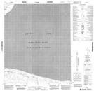
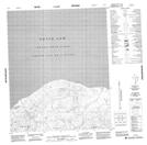
096G Fort Franklin Topographic Map at 1:250,000 scale
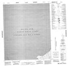
096H Grizzly Bear Mountain Topographic Map at 1:250,000 scale