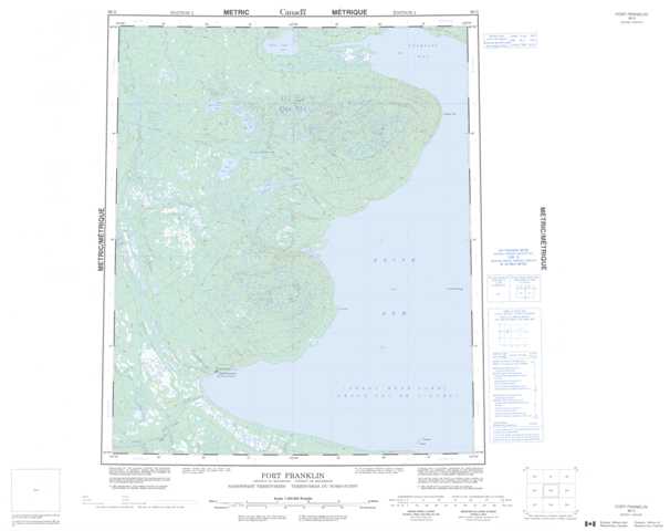
096G Fort Franklin Topographic Maps
Maps for the Fort Franklin map sheet 096G at 1:250,000 scale are available in 5 versions:
Topographic Map of Fort Franklin
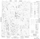
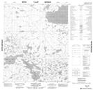
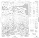
1:50,000 Scale Topos for Fort Franklin 096G:
 |
 |
 |
 |
 |
 |
 |
 |
 |
 |
 |
|
 |
 |
 |
 |
096G Related Maps:
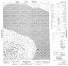
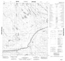
096G Fort Franklin
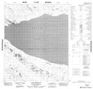
096G01 Manitou Island
096G02 No Title
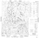
096G03 Fort Franklin
096G04 No Title
096G05 No Title
096G06 No Title
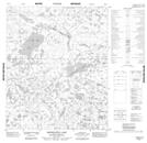
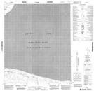
096G07 Fox Point
096G09 No Title
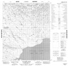
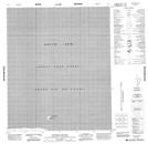
096G10 Salatreil River
096G11 Kekwinatui Lake
096G12 No Title
096G13 No Title
096G14 Tuitatui Lake
096G15 No Title
096G16 Kokeragi Point
096G01 Manitou Island
096G02 No Title
096G03 Fort Franklin
096G04 No Title
096G05 No Title
096G06 No Title
096G07 Fox Point
096G09 No Title
096G10 Salatreil River
096G11 Kekwinatui Lake
096G12 No Title
096G13 No Title
096G14 Tuitatui Lake
096G15 No Title
096G16 Kokeragi Point
