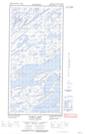
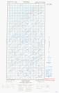
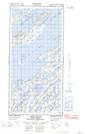
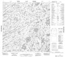
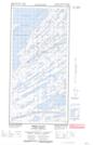
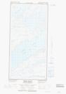
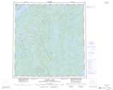
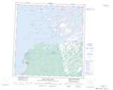
Maps showing La Loche River, Mackenzie, Northwest Territories
La Loche River is a River located in Mackenzie, Northwest Territories and has an elevation of 174 meters.
- Latitude: 61° 37' 41'' North (decimal: 61.6279360)
- Longitude: 112° 12' 39'' West (decimal: -112.2107371)
- Topography Feature Category: River
- Geographical Feature: River
- Canadian Province/Territory: Northwest Territories
- Elevation: 174 meters
- Location: Mackenzie
- Atlas of Canada Locator Map: La Loche River
- GPS Coordinate Locator Map: La Loche River Lat/Long
La Loche River NTS Map Sheets
075E12E Thubun Lakes Topographic Map at 1:50,000 scale
075E12W Thubun Lakes Topographic Map at 1:50,000 scale
075E13E Union Island Topographic Map at 1:50,000 scale
075E13W Union Island Topographic Map at 1:50,000 scale
075E14 No Title Topographic Map at 1:50,000 scale
085H09E Preble Island Topographic Map at 1:50,000 scale
085H09W Preble Island Topographic Map at 1:50,000 scale
075E Taltson Lake Topographic Map at 1:250,000 scale
085H Fort Resolution Topographic Map at 1:250,000 scale