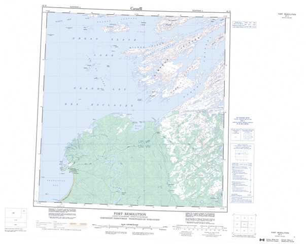
085H Fort Resolution Topographic Maps
Maps for the Fort Resolution map sheet 085H at 1:250,000 scale are available in 5 versions:
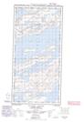
Topographic Map of Fort Resolution
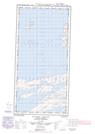
1:50,000 Scale Topos for Fort Resolution 085H:
 |
  |
  |
  |
  |
  |
  |
|
 |
 |
 |
 |
 |
 |
 |
 |
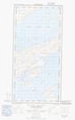
085H Related Maps:
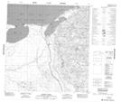
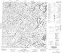
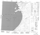
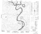
085H Fort Resolution
085H01 No Title
085H02 Rat River
085H03 Mcconnell Island
085H04 Resolution Bay
085H05 Resdelta Channel
085H06 Stony Island
085H07 Rocher River
085H08 Thubun River
085H09E Preble Island
085H09W Preble Island
085H10E Petitot Islands
085H10W Petitot Islands
085H11E Iles Du Goulet
085H11W Iles Du Goulet
085H13 Whaleback Rocks
085H14E Caribou Islands
085H14W Caribou Islands
085H15E Wilson Island
085H15W Wilson Island
085H16E Hornby Channel
085H16W Hornby Channel
