Canada Topographic Maps

Iles du Large Topo Maps

Topography maps and Latitude/Longitude Location

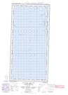
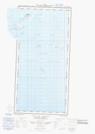
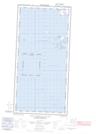
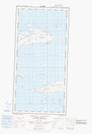
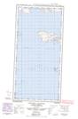
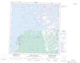
Maps showing Iles du Large, Mackenzie, Northwest Territories

Iles du Large is a Island located in Mackenzie, Northwest Territories and has an elevation of 160 meters.

  • Latitude: 61° 43' 0'' North   (decimal: 61.7167972)
  • Longitude: 113° 25' 4'' West   (decimal: -113.4178180)
  • Topography Feature Category: Island
  • Geographical Feature: Islands
  • Canadian Province/Territory: Northwest Territories
  • Elevation: 160 meters
  • Location: Mackenzie
  • Atlas of Canada Locator Map: Iles du Large
  • GPS Coordinate Locator Map: Iles du Large Lat/Long

Iles du Large NTS Map Sheets

085H11E Iles Du Goulet Topographic Map at 1:50,000 scale

085H11W Iles Du Goulet Topographic Map at 1:50,000 scale

085H13 Whaleback Rocks Topographic Map at 1:50,000 scale

085H14E Caribou Islands Topographic Map at 1:50,000 scale

085H14W Caribou Islands Topographic Map at 1:50,000 scale

085H Fort Resolution Topographic Map at 1:250,000 scale

 
Buy Topographic Maps DVD
Newsletter Sign-up

Yes, I want to receive map store discounts.


Bookmark and Share