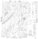
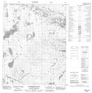
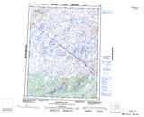
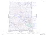
Maps showing Lac Le Roux, Mackenzie, Northwest Territories
Lac Le Roux is a Lake located in Mackenzie, Northwest Territories.
- Latitude: 67° 9' 1'' North (decimal: 67.1503029)
- Longitude: 117° 57' 6'' West (decimal: -117.9517030)
- Topography Feature Category: Lake
- Geographical Feature: Lake
- Canadian Province/Territory: Northwest Territories
- Location: Mackenzie
- Atlas of Canada Locator Map: Lac Le Roux
- GPS Coordinate Locator Map: Lac Le Roux Lat/Long
Lac Le Roux NTS Map Sheets