Maps showing Liverpool Bay, Franklin, Northwest Territories
Liverpool Bay is a Bay located in Franklin, Northwest Territories and has an elevation of 0 meters.
- Latitude: 69° 54' 0'' North (decimal: 69.9000587)
- Longitude: 129° 30' 10'' West (decimal: -129.5027136)
- Topography Feature Category: Bay
- Geographical Feature: Bay
- Canadian Province/Territory: Northwest Territories
- Elevation: 0 meters
- Location: Franklin
- Atlas of Canada Locator Map: Liverpool Bay
- GPS Coordinate Locator Map: Liverpool Bay Lat/Long
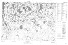
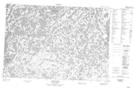
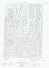
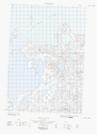
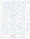
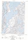
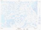
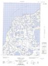
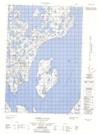
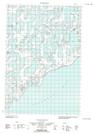
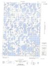
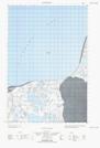
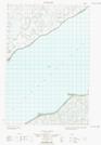
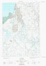
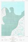
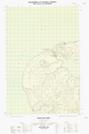
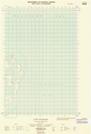
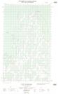
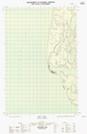
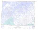
Liverpool Bay NTS Map Sheets
107D03 No Title Topographic Map at 1:50,000 scale
107D04 Jonas Lake Topographic Map at 1:50,000 scale
107D05E No Title Topographic Map at 1:50,000 scale
107D05W No Title Topographic Map at 1:50,000 scale
107D06E Thumb Island Topographic Map at 1:50,000 scale
107D06W No Title Topographic Map at 1:50,000 scale
107D10 Tingmiak Lake Topographic Map at 1:50,000 scale
107D11E Campbell Island Topographic Map at 1:50,000 scale
107D11W Campbell Island Topographic Map at 1:50,000 scale
107D14E No Title Topographic Map at 1:50,000 scale
107D14W No Title Topographic Map at 1:50,000 scale
107D15E No Title Topographic Map at 1:50,000 scale
107D15W No Title Topographic Map at 1:50,000 scale
107D16E Stanton Topographic Map at 1:50,000 scale
107D16W Stanton Topographic Map at 1:50,000 scale
107E01E Maitland Point Topographic Map at 1:50,000 scale
107E02E Cape Dalhousie Topographic Map at 1:50,000 scale
107E02W Cape Dalhousie Topographic Map at 1:50,000 scale
107E08E Neil Lake Topographic Map at 1:50,000 scale
107D Stanton Topographic Map at 1:250,000 scale
107E Cape Dalhousie Topographic Map at 1:250,000 scale