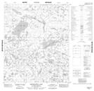
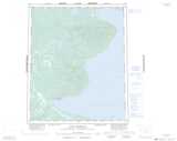
Maps showing Man Drowned Himself Lake, Mackenzie, Northwest Territories
Man Drowned Himself Lake is a Lake located in Mackenzie, Northwest Territories and has an elevation of 265 meters.
- Latitude: 65° 41' 36'' North (decimal: 65.6932058)
- Longitude: 123° 12' 51'' West (decimal: -123.2142651)
- Topography Feature Category: Lake
- Geographical Feature: Lake
- Canadian Province/Territory: Northwest Territories
- Elevation: 265 meters
- Location: Mackenzie
- Atlas of Canada Locator Map: Man Drowned Himself Lake
- GPS Coordinate Locator Map: Man Drowned Himself Lake Lat/Long
Man Drowned Himself Lake NTS Map Sheets