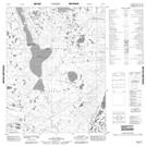
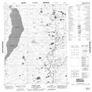
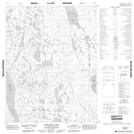
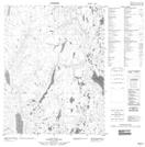
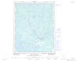
Maps showing Manuel Lake, Mackenzie, Northwest Territories
Manuel Lake is a Lake located in Mackenzie, Northwest Territories and has an elevation of 201 meters.
- Latitude: 66° 58' 0'' North (decimal: 66.9667143)
- Longitude: 128° 54' 8'' West (decimal: -128.9021436)
- Topography Feature Category: Lake
- Geographical Feature: Lake
- Canadian Province/Territory: Northwest Territories
- Elevation: 201 meters
- Location: Mackenzie
- Atlas of Canada Locator Map: Manuel Lake
- GPS Coordinate Locator Map: Manuel Lake Lat/Long
Manuel Lake NTS Map Sheets