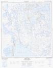
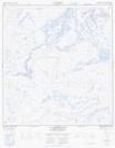
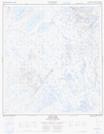
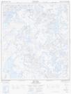
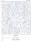
Maps showing Marian River, Mackenzie, Northwest Territories
Marian River is a River located in Mackenzie, Northwest Territories and has an elevation of 165 meters.
- Latitude: 63° 4' 1'' North (decimal: 63.0668709)
- Longitude: 116° 21' 5'' West (decimal: -116.3513840)
- Topography Feature Category: River
- Geographical Feature: River
- Canadian Province/Territory: Northwest Territories
- Elevation: 165 meters
- Location: Mackenzie
- Atlas of Canada Locator Map: Marian River
- GPS Coordinate Locator Map: Marian River Lat/Long
Marian River NTS Map Sheets
085N01 Shoti Lake Topographic Map at 1:50,000 scale
085N02 La Martre Falls Topographic Map at 1:50,000 scale
085N07 Tumi Lake Topographic Map at 1:50,000 scale
085N10 Bea Lake Topographic Map at 1:50,000 scale
085N15 Ketcheson Lake Topographic Map at 1:50,000 scale
085N Marian River Topographic Map at 1:250,000 scale
085N02 La Martre Falls Topographic Map at 1:50,000 scale
085N07 Tumi Lake Topographic Map at 1:50,000 scale
085N10 Bea Lake Topographic Map at 1:50,000 scale
085N15 Ketcheson Lake Topographic Map at 1:50,000 scale
085N Marian River Topographic Map at 1:250,000 scale