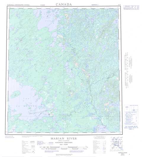
085N Marian River Topographic Maps
Maps for the Marian River map sheet 085N at 1:250,000 scale are available in 5 versions:
Topographic Map of Marian River
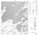
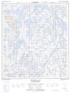
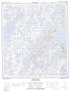
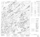
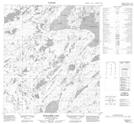
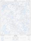
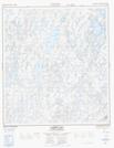
1:50,000 Scale Topos for Marian River 085N:
 |
 |
 |
 |
 |
 |
 |
 |
 |
 |
 |
 |
 |
 |
 |
 |
085N Related Maps:
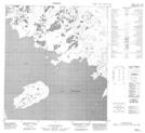
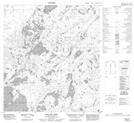
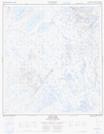
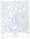
085N Marian River
085N01 Shoti Lake
085N02 La Martre Falls
085N03 Boyer Lake
085N04 Golby Island
085N05 No Title
085N06 Killam Lake
085N07 Tumi Lake
085N08 Strutt Lake
085N09 Labrish Lake
085N10 Bea Lake
085N11 Mcquarrie Lake
085N12 Trumper Lake
085N13 Mclellan Lake
085N14 Mossey Island
085N15 Ketcheson Lake
085N16 Snively Lake
