Maps showing Lac la Martre, Mackenzie, Northwest Territories
Lac la Martre is a Lake located in Mackenzie, Northwest Territories and has an elevation of 256 meters.
- Latitude: 63° 15' 1'' North (decimal: 63.2501943)
- Longitude: 117° 55' 5'' West (decimal: -117.9181521)
- Topography Feature Category: Lake
- Geographical Feature: Lake
- Canadian Province/Territory: Northwest Territories
- Elevation: 256 meters
- Location: Mackenzie
- Atlas of Canada Locator Map: Lac la Martre
- GPS Coordinate Locator Map: Lac la Martre Lat/Long
Lac la Martre NTS Map Sheets
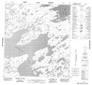
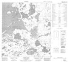
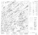
085M01 No Title Topographic Map at 1:50,000 scale
085M07 No Title Topographic Map at 1:50,000 scale
085M08 No Title Topographic Map at 1:50,000 scale
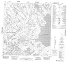
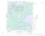
085M09 Lac Tempier Topographic Map at 1:50,000 scale
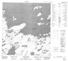
085N03 Boyer Lake Topographic Map at 1:50,000 scale
085N04 Golby Island Topographic Map at 1:50,000 scale
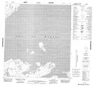
085N05 No Title Topographic Map at 1:50,000 scale
085N06 Killam Lake Topographic Map at 1:50,000 scale
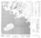
085N12 Trumper Lake Topographic Map at 1:50,000 scale
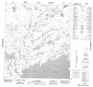
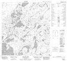
085M Lac La Martre Topographic Map at 1:250,000 scale
085N Marian River Topographic Map at 1:250,000 scale