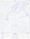
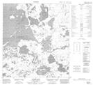
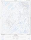
Maps showing Rivière la Martre, Mackenzie, Northwest Territories
Rivière la Martre is a River located in Mackenzie, Northwest Territories and has an elevation of 250 meters.
- Latitude: 63° 16' 1'' North (decimal: 63.2668732)
- Longitude: 116° 32' 5'' West (decimal: -116.5347410)
- Topography Feature Category: River
- Geographical Feature: River
- Canadian Province/Territory: Northwest Territories
- Elevation: 250 meters
- Location: Mackenzie
- Atlas of Canada Locator Map: Rivière la Martre
- GPS Coordinate Locator Map: Rivière la Martre Lat/Long
Rivière la Martre NTS Map Sheets