Canada Topographic Maps

Mason River Topo Maps

Topography maps and Latitude/Longitude Location

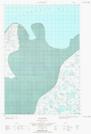
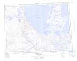
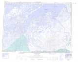
Maps showing Mason River, Mackenzie, Northwest Territories

Mason River is a River located in Mackenzie, Northwest Territories and has an elevation of 28 meters.

  • Latitude: 69° 56' 0'' North   (decimal: 69.9334548)
  • Longitude: 128° 20' 10'' West   (decimal: -128.3360497)
  • Topography Feature Category: River
  • Geographical Feature: River
  • Canadian Province/Territory: Northwest Territories
  • Elevation: 28 meters
  • Location: Mackenzie
  • Atlas of Canada Locator Map: Mason River
  • GPS Coordinate Locator Map: Mason River Lat/Long

Mason River NTS Map Sheets

097C05 No Title Topographic Map at 1:50,000 scale

097C12 No Title Topographic Map at 1:50,000 scale

097C13 Mackenzie Lake Topographic Map at 1:50,000 scale

107D16E Stanton Topographic Map at 1:50,000 scale

107D16W Stanton Topographic Map at 1:50,000 scale

097C Franklin Bay Topographic Map at 1:250,000 scale

107D Stanton Topographic Map at 1:250,000 scale

 
Buy Topographic Maps DVD
Newsletter Sign-up

Yes, I want to receive map store discounts.


Bookmark and Share