Canada Topographic Maps

Mattberry Lake Topo Maps

Topography maps and Latitude/Longitude Location

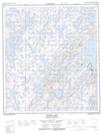
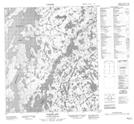
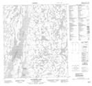
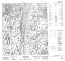
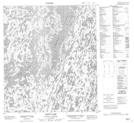
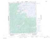
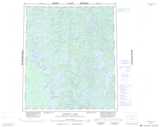
Maps showing Mattberry Lake, Mackenzie, Northwest Territories

Mattberry Lake is a Lake located in Mackenzie, Northwest Territories and has an elevation of 266 meters.

  • Latitude: 64° 5' 1'' North   (decimal: 64.0835695)
  • Longitude: 115° 54' 5'' West   (decimal: -115.9014137)
  • Topography Feature Category: Lake
  • Geographical Feature: Lake
  • Canadian Province/Territory: Northwest Territories
  • Elevation: 266 meters
  • Location: Mackenzie
  • Atlas of Canada Locator Map: Mattberry Lake
  • GPS Coordinate Locator Map: Mattberry Lake Lat/Long

Mattberry Lake NTS Map Sheets

085N16 Snively Lake Topographic Map at 1:50,000 scale

085O13 Basler Lake Topographic Map at 1:50,000 scale

086B04 Mattberry Lake Topographic Map at 1:50,000 scale

086B05 Norris Lake Topographic Map at 1:50,000 scale

086C01 Zinto Lake Topographic Map at 1:50,000 scale

085N Marian River Topographic Map at 1:250,000 scale

085O Wecho River Topographic Map at 1:250,000 scale

086B Indin Lake Topographic Map at 1:250,000 scale

086C Hardisty Lake Topographic Map at 1:250,000 scale

 
Buy Topographic Maps DVD
Newsletter Sign-up

Yes, I want to receive map store discounts.


Bookmark and Share