Canada Topographic Maps

McCrea River Topo Maps

Topography maps and Latitude/Longitude Location

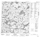
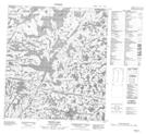
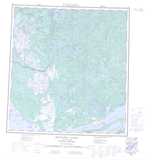
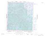
Maps showing McCrea River, Mackenzie, Northwest Territories

McCrea River is a River located in Mackenzie, Northwest Territories and has an elevation of 306 meters.

  • Latitude: 62° 58' 1'' North   (decimal: 62.9668829)
  • Longitude: 113° 55' 5'' West   (decimal: -113.9179264)
  • Topography Feature Category: River
  • Geographical Feature: River
  • Canadian Province/Territory: Northwest Territories
  • Elevation: 306 meters
  • Location: Mackenzie
  • Atlas of Canada Locator Map: McCrea River
  • GPS Coordinate Locator Map: McCrea River Lat/Long

McCrea River NTS Map Sheets

085I13 Duncan Lake Topographic Map at 1:50,000 scale

085P04 Thistlethwaite Lake Topographic Map at 1:50,000 scale

085P05 Nardin Lake Topographic Map at 1:50,000 scale

085P06 Muir Lake Topographic Map at 1:50,000 scale

085P10 Zipper Lake Topographic Map at 1:50,000 scale

085P11 Thetis Lake Topographic Map at 1:50,000 scale

085I Hearne Lake Topographic Map at 1:250,000 scale

085J Yellowknife Topographic Map at 1:250,000 scale

085P Upper Carp Lake Topographic Map at 1:250,000 scale

 
Buy Topographic Maps DVD
Newsletter Sign-up

Yes, I want to receive map store discounts.


Bookmark and Share