Maps showing McLeod Bay, Mackenzie, Northwest Territories
McLeod Bay is a Bay located in Mackenzie, Northwest Territories.
- Latitude: 62° 53' 1'' North (decimal: 62.8834751)
- Longitude: 110° 15' 4'' West (decimal: -110.2510662)
- Topography Feature Category: Bay
- Geographical Feature: Bay
- Canadian Province/Territory: Northwest Territories
- Location: Mackenzie
- Atlas of Canada Locator Map: McLeod Bay
- GPS Coordinate Locator Map: McLeod Bay Lat/Long
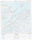
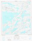
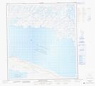
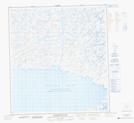
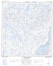
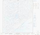
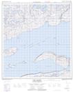
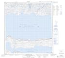
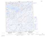
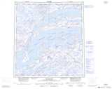
McLeod Bay NTS Map Sheets
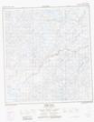
075K11 Reliance Topographic Map at 1:50,000 scale
075K12 Lausen Lake Topographic Map at 1:50,000 scale
075K13 Sentinel Point Topographic Map at 1:50,000 scale
075K14 Hoarfrost River Topographic Map at 1:50,000 scale
075K15 Parry Falls Topographic Map at 1:50,000 scale
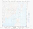
075L05 Sachowia Point Topographic Map at 1:50,000 scale
075L10 Pearson Point Topographic Map at 1:50,000 scale
075L11 Pethei Peninsula Topographic Map at 1:50,000 scale
075L12 Taltheilei Narrows Topographic Map at 1:50,000 scale
075L14 Akaitcho Lake Topographic Map at 1:50,000 scale
075L15 Lost Channel Topographic Map at 1:50,000 scale
075L16 Wildbread Bay Topographic Map at 1:50,000 scale
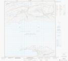
075K Reliance Topographic Map at 1:250,000 scale
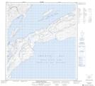
075L Snowdrift Topographic Map at 1:250,000 scale