Canada Topographic Maps

McPherson Creek Topo Maps

Topography maps and Latitude/Longitude Location

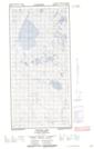
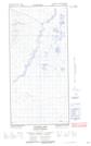
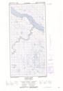
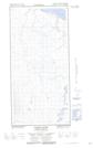
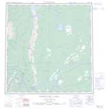
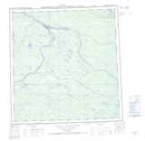
Maps showing McPherson Creek, Mackenzie, Northwest Territories

McPherson Creek is a River located in Mackenzie, Northwest Territories.

  • Latitude: 61° 52' 40'' North   (decimal: 61.8778724)
  • Longitude: 121° 39' 35'' West   (decimal: -121.6598418)
  • Topography Feature Category: River
  • Geographical Feature: Creek
  • Canadian Province/Territory: Northwest Territories
  • Location: Mackenzie
  • Atlas of Canada Locator Map: McPherson Creek
  • GPS Coordinate Locator Map: McPherson Creek Lat/Long

McPherson Creek NTS Map Sheets

095H12E Antoine Lake Topographic Map at 1:50,000 scale

095H12W Antoine Lake Topographic Map at 1:50,000 scale

095H13E Martin River Topographic Map at 1:50,000 scale

095H13W Martin River Topographic Map at 1:50,000 scale

095G Sibbeston Lake Topographic Map at 1:250,000 scale

095H Fort Simpson Topographic Map at 1:250,000 scale

 
Buy Topographic Maps DVD
Newsletter Sign-up

Yes, I want to receive map store discounts.


Bookmark and Share