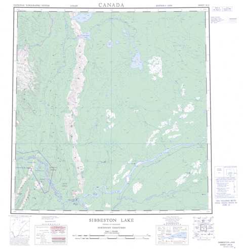
095G Sibbeston Lake Topographic Maps
Maps for the Sibbeston Lake map sheet 095G at 1:250,000 scale are available in 5 versions:
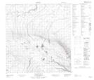
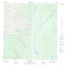
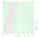
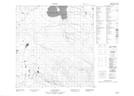
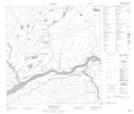
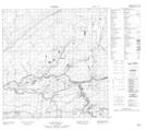
Topographic Map of Sibbeston Lake
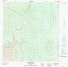
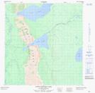
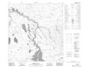
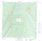
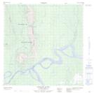
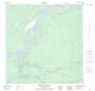
1:50,000 Scale Topos for Sibbeston Lake 095G:
 |
 |
 |
 |
 |
 |
 |
 |
 |
 |
 |
 |
 |
 |
 |
 |
095G Related Maps:
095G Sibbeston Lake
095G01 No Title
095G02 Dehdjida Island
095G03 Nahanni Butte
095G04 The Twisted Mountain
095G05 Fishtrap Creek
095G06 Grainger River
095G07 Dehdjida Creek
095G08 Matou River
095G09 No Title
095G10 No Title
095G11 No Title
095G12 Mid Lake
095G13 Ram River
095G14 Little Doctor Lake
095G15 Sibbeston Lake
095G16 Martin Hills
