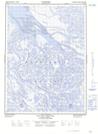
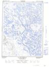
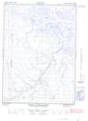
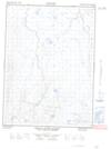
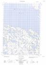
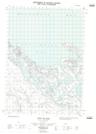
Maps showing Ministicoog Channel, Mackenzie, Northwest Territories
Ministicoog Channel is a Channel located in Mackenzie, Northwest Territories and has an elevation of 1 meters.
- Latitude: 68° 51' 59'' North (decimal: 68.8665223)
- Longitude: 136° 27' 20'' West (decimal: -136.4554478)
- Topography Feature Category: Channel
- Geographical Feature: Channel
- Canadian Province/Territory: Northwest Territories
- Elevation: 1 meters
- Location: Mackenzie
- Atlas of Canada Locator Map: Ministicoog Channel
- GPS Coordinate Locator Map: Ministicoog Channel Lat/Long
Ministicoog Channel NTS Map Sheets
107B12E Leland Channel Topographic Map at 1:50,000 scale
107B12W Leland Channel Topographic Map at 1:50,000 scale
117A09E Mount Davies Gilbert Topographic Map at 1:50,000 scale
117A09W Mount Davies Gilbert Topographic Map at 1:50,000 scale
117A16E Tent Island Topographic Map at 1:50,000 scale
117A16W Tent Island Topographic Map at 1:50,000 scale
107B Aklavik Topographic Map at 1:250,000 scale
117A Blow River Topographic Map at 1:250,000 scale