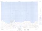
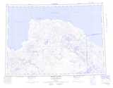
Maps showing M'Leay Point, Mackenzie, Northwest Territories
M'Leay Point is a Cape located in Mackenzie, Northwest Territories and has an elevation of 1 meters.
- Latitude: 69° 50' 1'' North (decimal: 69.8336280)
- Longitude: 122° 37' 8'' West (decimal: -122.6189977)
- Topography Feature Category: Cape
- Geographical Feature: Point
- Canadian Province/Territory: Northwest Territories
- Elevation: 1 meters
- Location: Mackenzie
- Atlas of Canada Locator Map: M'Leay Point
- GPS Coordinate Locator Map: M'Leay Point Lat/Long
M'Leay Point NTS Map Sheets