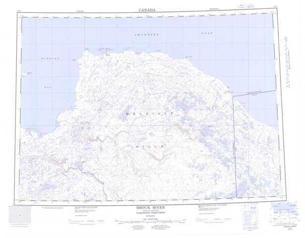
097D Brock River Topographic Maps
Maps for the Brock River map sheet 097D at 1:250,000 scale are available in 5 versions:
Topographic Map of Brock River
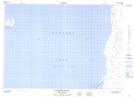
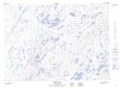
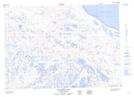
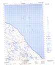
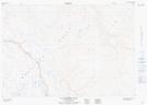
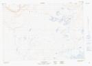
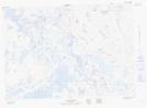
1:50,000 Scale Topos for Brock River 097D:
 |
 |
 |
|
 |
 |
 |
 |
 |
 |
 |
 |
 |
 |
 |
 |
097D Related Maps:
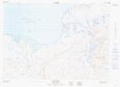
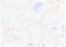
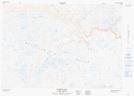
097D Brock River
097D01 No Title
097D02 No Title
097D03 La Ronciere Falls
097D04 Rummy Lake
097D05 Rat Lake
097D06 Melville Hills
097D07 No Title
097D08 Buchanan River
097D09 Clinton Point
097D10 Palgrave River
097D11 Fish Lake
097D12 Clapperton Island
097D13E Halcro Point
097D14 Pearce Point
097D15 Keats Point
097D01 No Title
097D02 No Title
097D03 La Ronciere Falls
097D04 Rummy Lake
097D05 Rat Lake
097D06 Melville Hills
097D07 No Title
097D08 Buchanan River
097D09 Clinton Point
097D10 Palgrave River
097D11 Fish Lake
097D12 Clapperton Island
097D13E Halcro Point
097D14 Pearce Point
097D15 Keats Point
