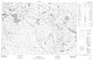
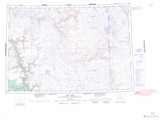
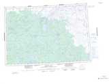
Maps showing Nangayuk Creek, Mackenzie, Northwest Territories
Nangayuk Creek is a River located in Mackenzie, Northwest Territories and has an elevation of 256 meters.
- Latitude: 68° 55' 1'' North (decimal: 68.9169012)
- Longitude: 124° 10' 8'' West (decimal: -124.1689498)
- Topography Feature Category: River
- Geographical Feature: Creek
- Canadian Province/Territory: Northwest Territories
- Elevation: 256 meters
- Location: Mackenzie
- Atlas of Canada Locator Map: Nangayuk Creek
- GPS Coordinate Locator Map: Nangayuk Creek Lat/Long
Nangayuk Creek NTS Map Sheets