Maps showing Natla River, Mackenzie, Northwest Territories
Natla River is a River located in Mackenzie, Northwest Territories and has an elevation of 1124 meters.
- Latitude: 63° 34' 00'' North (decimal: 63.5666148)
- Longitude: 128° 5' 7'' West (decimal: -128.0851714)
- Topography Feature Category: River
- Geographical Feature: River
- Canadian Province/Territory: Northwest Territories
- Elevation: 1124 meters
- Location: Mackenzie
- Atlas of Canada Locator Map: Natla River
- GPS Coordinate Locator Map: Natla River Lat/Long
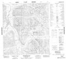
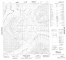
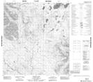
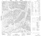
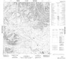
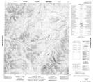
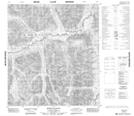
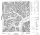
Natla River NTS Map Sheets
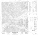
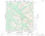
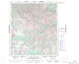
095M05 Rockslide Pass Topographic Map at 1:50,000 scale
095M12 Shezal Canyon Topographic Map at 1:50,000 scale
105I14 Jones Lake Topographic Map at 1:50,000 scale
105P02 No Title Topographic Map at 1:50,000 scale
105P03 No Title Topographic Map at 1:50,000 scale
105P04 Christie Pass Topographic Map at 1:50,000 scale
105P07 Sekwi Canyon Topographic Map at 1:50,000 scale
105P08 No Title Topographic Map at 1:50,000 scale
105P09 Delthore Mountain Topographic Map at 1:50,000 scale
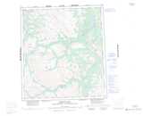
095M Wrigley Lake Topographic Map at 1:250,000 scale
105I Little Nahanni River Topographic Map at 1:250,000 scale
105P Sekwi Mountain Topographic Map at 1:250,000 scale