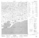
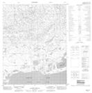
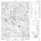
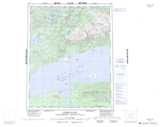
Maps showing Omstead Creek, Mackenzie, Northwest Territories
Omstead Creek is a River located in Mackenzie, Northwest Territories and has an elevation of 159 meters.
- Latitude: 66° 35' 1'' North (decimal: 66.5835267)
- Longitude: 122° 25' 7'' West (decimal: -122.4185217)
- Topography Feature Category: River
- Geographical Feature: Creek
- Canadian Province/Territory: Northwest Territories
- Elevation: 159 meters
- Location: Mackenzie
- Atlas of Canada Locator Map: Omstead Creek
- GPS Coordinate Locator Map: Omstead Creek Lat/Long
Omstead Creek NTS Map Sheets