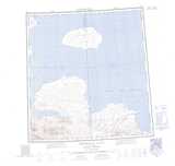
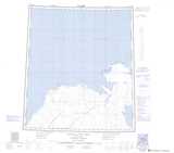
Maps showing Prince Patrick Island, Franklin, Northwest Territories
Prince Patrick Island is a Island located in Franklin, Northwest Territories.
- Latitude: 76° 45' 2'' North (decimal: 76.7506738)
- Longitude: 119° 30' 12'' West (decimal: -119.5034209)
- Topography Feature Category: Island
- Geographical Feature: Island
- Canadian Province/Territory: Northwest Territories
- Location: Franklin
- Atlas of Canada Locator Map: Prince Patrick Island
- GPS Coordinate Locator Map: Prince Patrick Island Lat/Long
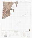
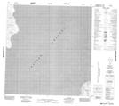
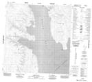
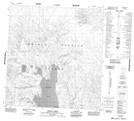
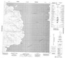
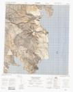
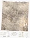
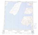
Prince Patrick Island NTS Map Sheets
088G13 Cape Frederick Topographic Map at 1:50,000 scale
089B03 No Title Topographic Map at 1:50,000 scale
089B04 Mould Bay Topographic Map at 1:50,000 scale
089B05 Station Creek Topographic Map at 1:50,000 scale
089B06 Snowpatch Point Topographic Map at 1:50,000 scale
089B11 No Title Topographic Map at 1:50,000 scale
089B12 No Title Topographic Map at 1:50,000 scale
088G Eglinton Island Topographic Map at 1:250,000 scale
089A Emerald Isle Topographic Map at 1:250,000 scale
089B Intrepid Inlet Topographic Map at 1:250,000 scale
089C Satellite Bay Topographic Map at 1:250,000 scale