Maps showing Ramparts River, Mackenzie, Northwest Territories
Ramparts River is a River located in Mackenzie, Northwest Territories and has an elevation of 58 meters.
- Latitude: 66° 10' 55'' North (decimal: 66.1819750)
- Longitude: 129° 2' 22'' West (decimal: -129.0395422)
- Topography Feature Category: River
- Geographical Feature: River
- Canadian Province/Territory: Northwest Territories
- Elevation: 58 meters
- Location: Mackenzie
- Atlas of Canada Locator Map: Ramparts River
- GPS Coordinate Locator Map: Ramparts River Lat/Long
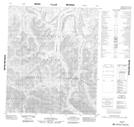
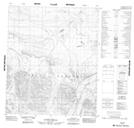
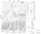
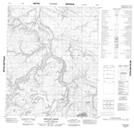
Ramparts River NTS Map Sheets
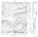
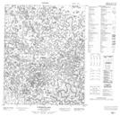
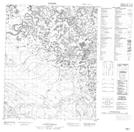
106G02 No Title Topographic Map at 1:50,000 scale
106G07 No Title Topographic Map at 1:50,000 scale
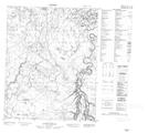
106G08 Ovis Ridge Topographic Map at 1:50,000 scale
106G09 Beeline Creek Topographic Map at 1:50,000 scale
106G15 No Title Topographic Map at 1:50,000 scale
106G16 No Title Topographic Map at 1:50,000 scale
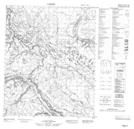
106I03 No Title Topographic Map at 1:50,000 scale
106I04 Tukweye Lake Topographic Map at 1:50,000 scale
106J01 No Title Topographic Map at 1:50,000 scale
106J02 No Title Topographic Map at 1:50,000 scale
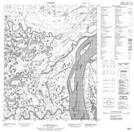
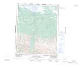
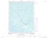
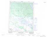
106G Ramparts River Topographic Map at 1:250,000 scale
106I Fort Good Hope Topographic Map at 1:250,000 scale
106J Ontaratue River Topographic Map at 1:250,000 scale