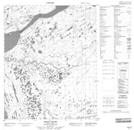
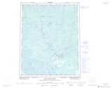
Maps showing The Ramparts, Mackenzie, Northwest Territories
The Ramparts is a Cliff located in Mackenzie, Northwest Territories and has an elevation of 56 meters.
- Latitude: 66° 13' 0'' North (decimal: 66.2167022)
- Longitude: 128° 52' 7'' West (decimal: -128.8687132)
- Topography Feature Category: Cliff
- Geographical Feature: Ramparts
- Canadian Province/Territory: Northwest Territories
- Elevation: 56 meters
- Location: Mackenzie
- Atlas of Canada Locator Map: The Ramparts
- GPS Coordinate Locator Map: The Ramparts Lat/Long
The Ramparts NTS Map Sheets