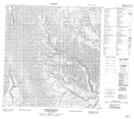
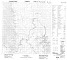
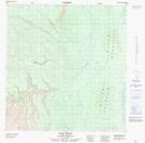
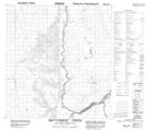
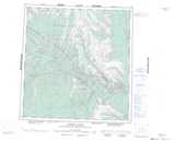
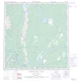
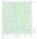
Maps showing Ram River, Mackenzie, Northwest Territories
Ram River is a River located in Mackenzie, Northwest Territories and has an elevation of 552 meters.
- Latitude: 62° 1' 0'' North (decimal: 62.0167439)
- Longitude: 123° 41' 6'' West (decimal: -123.6849625)
- Topography Feature Category: River
- Geographical Feature: River
- Canadian Province/Territory: Northwest Territories
- Elevation: 552 meters
- Location: Mackenzie
- Atlas of Canada Locator Map: Ram River
- GPS Coordinate Locator Map: Ram River Lat/Long
Ram River NTS Map Sheets
095F15 Corridor Creek Topographic Map at 1:50,000 scale
095F16 No Title Topographic Map at 1:50,000 scale
095G13 Ram River Topographic Map at 1:50,000 scale
095J04 Battlement Creek Topographic Map at 1:50,000 scale
095F Virginia Falls Topographic Map at 1:250,000 scale
095G Sibbeston Lake Topographic Map at 1:250,000 scale
095J Camsell Bend Topographic Map at 1:250,000 scale