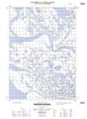
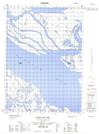
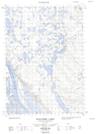
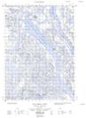
Maps showing Reindeer Channel, Mackenzie, Northwest Territories
Reindeer Channel is a Channel located in Mackenzie, Northwest Territories and has an elevation of 15 meters.
- Latitude: 68° 53' 25'' North (decimal: 68.8901602)
- Longitude: 135° 40' 10'' West (decimal: -135.6693316)
- Topography Feature Category: Channel
- Geographical Feature: Channel
- Canadian Province/Territory: Northwest Territories
- Elevation: 15 meters
- Location: Mackenzie
- Atlas of Canada Locator Map: Reindeer Channel
- GPS Coordinate Locator Map: Reindeer Channel Lat/Long
Reindeer Channel NTS Map Sheets