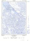
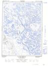
Maps showing Rock Channel, Franklin, Northwest Territories
Rock Channel is a Channel located in Franklin, Northwest Territories.
- Latitude: 68° 42' 00'' North (decimal: 68.6998628)
- Longitude: 135° 59' 9'' West (decimal: -135.9859423)
- Topography Feature Category: Channel
- Geographical Feature: Channel
- Canadian Province/Territory: Northwest Territories
- Location: Franklin
- Atlas of Canada Locator Map: Rock Channel
- GPS Coordinate Locator Map: Rock Channel Lat/Long
Rock Channel NTS Map Sheets