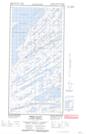
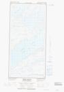
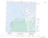
Maps showing Lake of the Rock, Mackenzie, Northwest Territories
Lake of the Rock is a Lake located in Mackenzie, Northwest Territories and has an elevation of 186 meters.
- Latitude: 61° 30' 20'' North (decimal: 61.5056926)
- Longitude: 112° 15' 4'' West (decimal: -112.2509944)
- Topography Feature Category: Lake
- Geographical Feature: Lake
- Canadian Province/Territory: Northwest Territories
- Elevation: 186 meters
- Location: Mackenzie
- Atlas of Canada Locator Map: Lake of the Rock
- GPS Coordinate Locator Map: Lake of the Rock Lat/Long
Lake of the Rock NTS Map Sheets