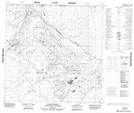
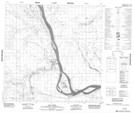
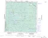
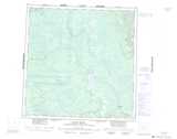
Maps showing Salt River, Mackenzie, Northwest Territories
Salt River is a River located in Mackenzie, Northwest Territories and has an elevation of 167 meters.
- Latitude: 60° 6' 41'' North (decimal: 60.1112599)
- Longitude: 112° 13' 54'' West (decimal: -112.2316363)
- Topography Feature Category: River
- Geographical Feature: River
- Canadian Province/Territory: Northwest Territories
- Elevation: 167 meters
- Location: Mackenzie
- Atlas of Canada Locator Map: Salt River
- GPS Coordinate Locator Map: Salt River Lat/Long
Salt River NTS Map Sheets