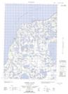
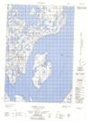
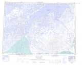
Maps showing Sanders Creek, Franklin, Northwest Territories
Sanders Creek is a River located in Franklin, Northwest Territories.
- Latitude: 69° 34' 0'' North (decimal: 69.5666919)
- Longitude: 130° 27' 10'' West (decimal: -130.4526747)
- Topography Feature Category: River
- Geographical Feature: Creek
- Canadian Province/Territory: Northwest Territories
- Location: Franklin
- Atlas of Canada Locator Map: Sanders Creek
- GPS Coordinate Locator Map: Sanders Creek Lat/Long
Sanders Creek NTS Map Sheets