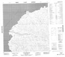
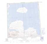
Maps showing Sandy Point, Franklin, Northwest Territories
Sandy Point is a Cape located in Franklin, Northwest Territories.
- Latitude: 76° 28' 3'' North (decimal: 76.4673791)
- Longitude: 115° 30' 11'' West (decimal: -115.5029541)
- Topography Feature Category: Cape
- Geographical Feature: Point
- Canadian Province/Territory: Northwest Territories
- Location: Franklin
- Atlas of Canada Locator Map: Sandy Point
- GPS Coordinate Locator Map: Sandy Point Lat/Long
Sandy Point NTS Map Sheets