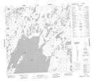
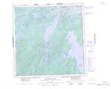
Maps showing Simons Island, Keewatin, Northwest Territories
Simons Island is a Island located in Keewatin, Northwest Territories and has an elevation of 331 meters.
- Latitude: 60° 33' 1'' North (decimal: 60.5502218)
- Longitude: 102° 24' 2'' West (decimal: -102.4005289)
- Topography Feature Category: Island
- Geographical Feature: Island
- Canadian Province/Territory: Northwest Territories
- Elevation: 331 meters
- Location: Keewatin
- Atlas of Canada Locator Map: Simons Island
- GPS Coordinate Locator Map: Simons Island Lat/Long
Simons Island NTS Map Sheets