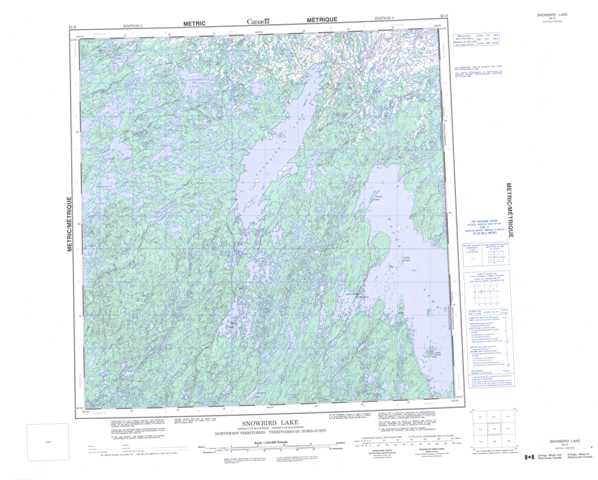
065D Snowbird Lake Topographic Maps
Maps for the Snowbird Lake map sheet 065D at 1:250,000 scale are available in 5 versions:
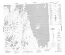
Topographic Map of Snowbird Lake
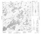
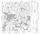
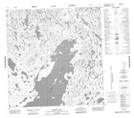
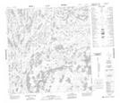
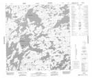
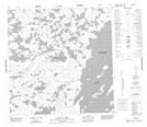
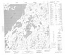
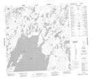
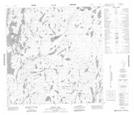
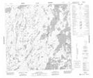
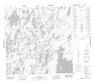
1:50,000 Scale Topos for Snowbird Lake 065D:
 |
 |
 |
 |
 |
 |
 |
 |
 |
 |
 |
 |
 |
 |
 |
 |
065D Related Maps:
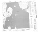
065D Snowbird Lake
065D01 White Partridge Island
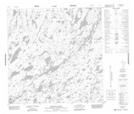
065D02 Klokol Lake
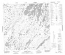
065D03 Deering Island
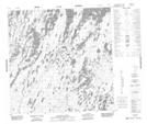
065D04 Striding River
065D05 Meyrick Lake
065D06 Dehoux Bay
065D07 Barr Lake
065D08 Gothe Island
065D09 Simons Island
065D10 Latimer Lake
065D11 Suggitt
065D12 Lone Lake
065D13 Allen Lake
065D14 Sherwood Lake
065D15 Kakoot Lake
065D16 Linklater Lake
065D01 White Partridge Island
065D02 Klokol Lake
065D03 Deering Island
065D04 Striding River
065D05 Meyrick Lake
065D06 Dehoux Bay
065D07 Barr Lake
065D08 Gothe Island
065D09 Simons Island
065D10 Latimer Lake
065D11 Suggitt
065D12 Lone Lake
065D13 Allen Lake
065D14 Sherwood Lake
065D15 Kakoot Lake
065D16 Linklater Lake
