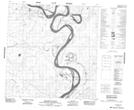
Maps showing Slave River, Mackenzie, Northwest Territories
Slave River is a River located in Mackenzie, Northwest Territories and has an elevation of 156 meters.
- Latitude: 61° 18' 1'' North (decimal: 61.3001580)
- Longitude: 113° 40' 4'' West (decimal: -113.6678911)
- Topography Feature Category: River
- Geographical Feature: River
- Canadian Province/Territory: Northwest Territories
- Elevation: 156 meters
- Location: Mackenzie
- Atlas of Canada Locator Map: Slave River
- GPS Coordinate Locator Map: Slave River Lat/Long
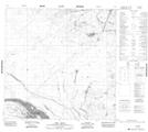
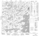
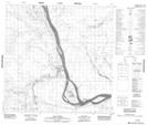
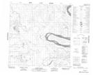
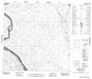
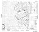
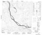
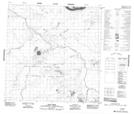
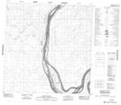
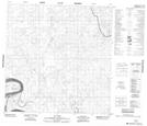
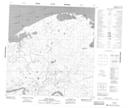
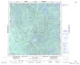
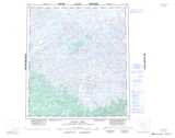
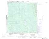
Slave River NTS Map Sheets
075D04 Fort Smith Topographic Map at 1:50,000 scale
075M13 Warburton Bay Topographic Map at 1:50,000 scale
085A01 Salt River Topographic Map at 1:50,000 scale
085A07 Grand Detour Topographic Map at 1:50,000 scale
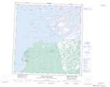
085A08 No Title Topographic Map at 1:50,000 scale
085A09 Tethul River Topographic Map at 1:50,000 scale
085A10 Landry Creek Topographic Map at 1:50,000 scale
085A11 Bear Creek Topographic Map at 1:50,000 scale
085A14 Long Island Topographic Map at 1:50,000 scale
085A15 No Title Topographic Map at 1:50,000 scale
085H03 Mcconnell Island Topographic Map at 1:50,000 scale
085H05 Resdelta Channel Topographic Map at 1:50,000 scale
085H06 Stony Island Topographic Map at 1:50,000 scale
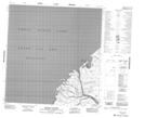
075D Fort Smith Topographic Map at 1:250,000 scale
075M Mackay Lake Topographic Map at 1:250,000 scale
085A Klewi River Topographic Map at 1:250,000 scale
085H Fort Resolution Topographic Map at 1:250,000 scale