Maps showing Sperry Creek, Mackenzie, Northwest Territories
Sperry Creek is a River located in Mackenzie, Northwest Territories.
- Latitude: 65° 31' 0'' North (decimal: 65.5166952)
- Longitude: 129° 11' 7'' West (decimal: -129.1852845)
- Topography Feature Category: River
- Geographical Feature: Creek
- Canadian Province/Territory: Northwest Territories
- Location: Mackenzie
- Atlas of Canada Locator Map: Sperry Creek
- GPS Coordinate Locator Map: Sperry Creek Lat/Long
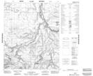
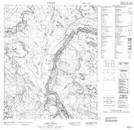
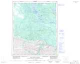
Sperry Creek NTS Map Sheets