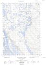
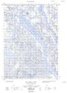
Maps showing Spruce Island, Mackenzie, Northwest Territories
Spruce Island is a Island located in Mackenzie, Northwest Territories.
- Latitude: 68° 54' 00'' North (decimal: 68.8999104)
- Longitude: 134° 33' 10'' West (decimal: -134.5526677)
- Topography Feature Category: Island
- Geographical Feature: Island
- Canadian Province/Territory: Northwest Territories
- Location: Mackenzie
- Atlas of Canada Locator Map: Spruce Island
- GPS Coordinate Locator Map: Spruce Island Lat/Long
Spruce Island NTS Map Sheets