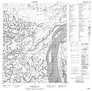
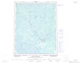
Maps showing Spruce Island, Mackenzie, Northwest Territories
Spruce Island is a Island located in Mackenzie, Northwest Territories and has an elevation of 60 meters.
- Latitude: 66° 9' 25'' North (decimal: 66.1569739)
- Longitude: 129° 3' 37'' West (decimal: -129.0603718)
- Topography Feature Category: Island
- Geographical Feature: Island
- Canadian Province/Territory: Northwest Territories
- Elevation: 60 meters
- Location: Mackenzie
- Atlas of Canada Locator Map: Spruce Island
- GPS Coordinate Locator Map: Spruce Island Lat/Long
Spruce Island NTS Map Sheets