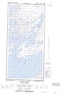
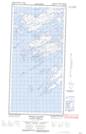
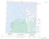
Maps showing Les Iles Terribles, Mackenzie, Northwest Territories
Les Iles Terribles is a Island located in Mackenzie, Northwest Territories.
- Latitude: 61° 33' 15'' North (decimal: 61.5542785)
- Longitude: 112° 54' 34'' West (decimal: -112.9093934)
- Topography Feature Category: Island
- Geographical Feature: Islands
- Canadian Province/Territory: Northwest Territories
- Location: Mackenzie
- Atlas of Canada Locator Map: Les Iles Terribles
- GPS Coordinate Locator Map: Les Iles Terribles Lat/Long
Les Iles Terribles NTS Map Sheets