Canada Topographic Maps

Thesiger Bay Topo Maps

Topography maps and Latitude/Longitude Location

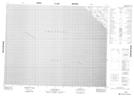
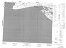
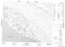
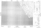
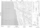
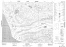
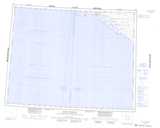
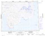
Maps showing Thesiger Bay, Franklin, Northwest Territories

Thesiger Bay is a Bay located in Franklin, Northwest Territories.

  • Latitude: 71° 30' 1'' North   (decimal: 71.5003925)
  • Longitude: 124° 5' 10'' West   (decimal: -124.0861902)
  • Topography Feature Category: Bay
  • Geographical Feature: Bay
  • Canadian Province/Territory: Northwest Territories
  • Location: Franklin
  • Atlas of Canada Locator Map: Thesiger Bay
  • GPS Coordinate Locator Map: Thesiger Bay Lat/Long

Thesiger Bay NTS Map Sheets

097G09 No Title Topographic Map at 1:50,000 scale

097G15 Duck Hawk Bluffs Topographic Map at 1:50,000 scale

097G16 Cape Currie Topographic Map at 1:50,000 scale

097H04 Cape Lambton Topographic Map at 1:50,000 scale

097H05 Rufus River Topographic Map at 1:50,000 scale

097H12 Raddi Lake Topographic Map at 1:50,000 scale

097G Sachs Harbour Topographic Map at 1:250,000 scale

097H De Salis Bay Topographic Map at 1:250,000 scale

 
Buy Topographic Maps DVD
Newsletter Sign-up

Yes, I want to receive map store discounts.


Bookmark and Share