Canada Topographic Maps

Travaillant River Topo Maps

Topography maps and Latitude/Longitude Location

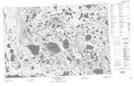
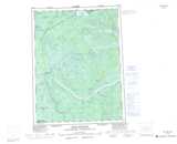
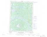
Maps showing Travaillant River, Mackenzie, Northwest Territories

Travaillant River is a River located in Mackenzie, Northwest Territories and has an elevation of 126 meters.

  • Latitude: 67° 28' 00'' North   (decimal: 67.4666534)
  • Longitude: 131° 30' 8'' West   (decimal: -131.5023002)
  • Topography Feature Category: River
  • Geographical Feature: River
  • Canadian Province/Territory: Northwest Territories
  • Elevation: 126 meters
  • Location: Mackenzie
  • Atlas of Canada Locator Map: Travaillant River
  • GPS Coordinate Locator Map: Travaillant River Lat/Long

Travaillant River NTS Map Sheets

106N16 Wood Bridge Lake Topographic Map at 1:50,000 scale

106O11 No Title Topographic Map at 1:50,000 scale

106O12 Travaillant Lake Topographic Map at 1:50,000 scale

106O13 No Title Topographic Map at 1:50,000 scale

107B01 Lost Reindeer Lakes Topographic Map at 1:50,000 scale

106N Arctic Red River Topographic Map at 1:250,000 scale

106O Travaillant Lake Topographic Map at 1:250,000 scale

107B Aklavik Topographic Map at 1:250,000 scale

 
Buy Topographic Maps DVD
Newsletter Sign-up

Yes, I want to receive map store discounts.


Bookmark and Share