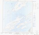
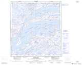
Maps showing Point a Tuer, Mackenzie, Northwest Territories
Point a Tuer is a Cape located in Mackenzie, Northwest Territories.
- Latitude: 62° 7' 1'' North (decimal: 62.1169152)
- Longitude: 111° 45' 4'' West (decimal: -111.7510065)
- Topography Feature Category: Cape
- Geographical Feature: Point
- Canadian Province/Territory: Northwest Territories
- Location: Mackenzie
- Atlas of Canada Locator Map: Point a Tuer
- GPS Coordinate Locator Map: Point a Tuer Lat/Long
Point a Tuer NTS Map Sheets