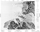
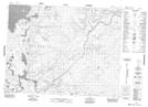
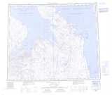
Maps showing Victoria Island, Franklin, Northwest Territories
Victoria Island is a Island located in Franklin, Northwest Territories.
- Latitude: 71° 0' 2'' North (decimal: 71.0005308)
- Longitude: 110° 0' 6'' West (decimal: -110.0017821)
- Topography Feature Category: Island
- Geographical Feature: Island
- Canadian Province/Territory: Northwest Territories
- Location: Franklin
- Atlas of Canada Locator Map: Victoria Island
- GPS Coordinate Locator Map: Victoria Island Lat/Long
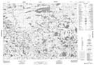
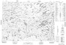
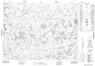
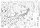
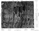
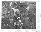
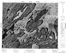
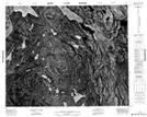
Victoria Island NTS Map Sheets
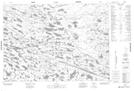
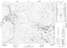
077F03 No Title Topographic Map at 1:50,000 scale
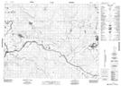
077F04 No Title Topographic Map at 1:50,000 scale
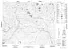
077F05 George Island Topographic Map at 1:50,000 scale
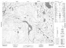
077F06 No Title Topographic Map at 1:50,000 scale
077F11 No Title Topographic Map at 1:50,000 scale
077F12 No Title Topographic Map at 1:50,000 scale
077F13 No Title Topographic Map at 1:50,000 scale
077F14 No Title Topographic Map at 1:50,000 scale
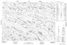
077G03 No Title Topographic Map at 1:50,000 scale
077G04 No Title Topographic Map at 1:50,000 scale
077G05 No Title Topographic Map at 1:50,000 scale
077G06 No Title Topographic Map at 1:50,000 scale
077G11 No Title Topographic Map at 1:50,000 scale
077G12 No Title Topographic Map at 1:50,000 scale
077G13 No Title Topographic Map at 1:50,000 scale
077G14 No Title Topographic Map at 1:50,000 scale
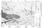
078B03 No Title Topographic Map at 1:50,000 scale
078B04 Kilian Lake Topographic Map at 1:50,000 scale
078B05 Washington Islands Topographic Map at 1:50,000 scale
078B06 No Title Topographic Map at 1:50,000 scale
078B11 Reynolds Point Topographic Map at 1:50,000 scale
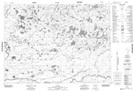
087H07 No Title Topographic Map at 1:50,000 scale
077F Kagloryuak River Topographic Map at 1:250,000 scale
077G Burns Lake Topographic Map at 1:250,000 scale
078B Wynniatt Bay Topographic Map at 1:250,000 scale
087H Saneraun Hills Topographic Map at 1:250,000 scale