087H Saneraun Hills Topographic Maps
Maps for the Saneraun Hills map sheet 087H at 1:250,000 scale are available in 5 versions:
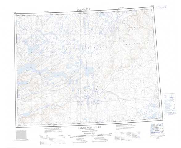
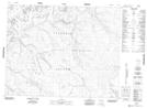
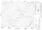
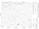
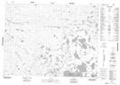
Topographic Map of Saneraun Hills
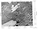
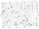
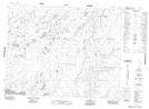
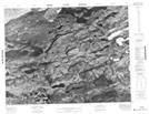
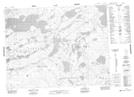
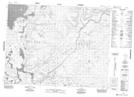
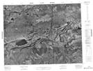
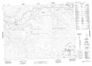
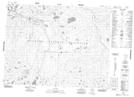
1:50,000 Scale Topos for Saneraun Hills 087H:
 |
 |
 |
 |
 |
 |
 |
 |
 |
 |
 |
 |
 |
 |
 |
 |
087H Related Maps:
087H Saneraun Hills
087H01 No Title
087H02 No Title
087H03 No Title
087H04 No Title
087H05 No Title
087H06 No Title
087H07 No Title
087H08 No Title
087H09 No Title
087H10 No Title
087H11 No Title
087H12 No Title
087H13 No Title
087H14 No Title
087H15 No Title
087H16 No Title
087H01 No Title
087H02 No Title
087H03 No Title
087H04 No Title
087H05 No Title
087H06 No Title
087H07 No Title
087H08 No Title
087H09 No Title
087H10 No Title
087H11 No Title
087H12 No Title
087H13 No Title
087H14 No Title
087H15 No Title
087H16 No Title
