Canada Topographic Maps

Waldron River Topo Maps

Topography maps and Latitude/Longitude Location

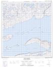
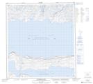
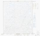
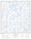
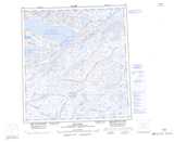
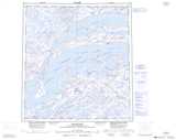
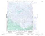
Maps showing Waldron River, Mackenzie, Northwest Territories

Waldron River is a River located in Mackenzie, Northwest Territories.

  • Latitude: 62° 55' 1'' North   (decimal: 62.9168361)
  • Longitude: 110° 35' 4'' West   (decimal: -110.5843458)
  • Topography Feature Category: River
  • Geographical Feature: River
  • Canadian Province/Territory: Northwest Territories
  • Location: Mackenzie
  • Atlas of Canada Locator Map: Waldron River
  • GPS Coordinate Locator Map: Waldron River Lat/Long

Waldron River NTS Map Sheets

075L15 Lost Channel Topographic Map at 1:50,000 scale

075L16 Wildbread Bay Topographic Map at 1:50,000 scale

075M01 Barnston Lake Topographic Map at 1:50,000 scale

075M02 Benjamin Lake Topographic Map at 1:50,000 scale

075K Reliance Topographic Map at 1:250,000 scale

075L Snowdrift Topographic Map at 1:250,000 scale

075M Mackay Lake Topographic Map at 1:250,000 scale

 
Buy Topographic Maps DVD
Newsletter Sign-up

Yes, I want to receive map store discounts.


Bookmark and Share