Canada Topographic Maps

Wholdaia Lake Topo Maps

Topography maps and Latitude/Longitude Location

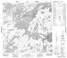
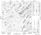
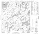
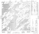
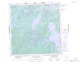
Maps showing Wholdaia Lake, Mackenzie, Northwest Territories

Wholdaia Lake is a Lake located in Mackenzie, Northwest Territories and has an elevation of 363 meters.

  • Latitude: 60° 43' 1'' North   (decimal: 60.7168801)
  • Longitude: 104° 10' 2'' West   (decimal: -104.1672967)
  • Topography Feature Category: Lake
  • Geographical Feature: Lake
  • Canadian Province/Territory: Northwest Territories
  • Elevation: 363 meters
  • Location: Mackenzie
  • Atlas of Canada Locator Map: Wholdaia Lake
  • GPS Coordinate Locator Map: Wholdaia Lake Lat/Long

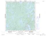
Wholdaia Lake NTS Map Sheets

065D05 Meyrick Lake Topographic Map at 1:50,000 scale

065D12 Lone Lake Topographic Map at 1:50,000 scale

065D13 Allen Lake Topographic Map at 1:50,000 scale

075A08 No Title Topographic Map at 1:50,000 scale

075A09 Innes Island Topographic Map at 1:50,000 scale

075A10 No Title Topographic Map at 1:50,000 scale

075A15 No Title Topographic Map at 1:50,000 scale

075A16 No Title Topographic Map at 1:50,000 scale

065D Snowbird Lake Topographic Map at 1:250,000 scale

075A Wholdaia Lake Topographic Map at 1:250,000 scale

 
Buy Topographic Maps DVD
Newsletter Sign-up

Yes, I want to receive map store discounts.


Bookmark and Share