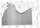
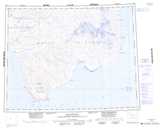
Maps showing Windrum Lagoon, Franklin, Northwest Territories
Windrum Lagoon is a Lake located in Franklin, Northwest Territories.
- Latitude: 71° 28' 2'' North (decimal: 71.4671017)
- Longitude: 121° 45' 10'' West (decimal: -121.7527126)
- Topography Feature Category: Lake
- Geographical Feature: Lagoon
- Canadian Province/Territory: Northwest Territories
- Location: Franklin
- Atlas of Canada Locator Map: Windrum Lagoon
- GPS Coordinate Locator Map: Windrum Lagoon Lat/Long
Windrum Lagoon NTS Map Sheets